フロントエンドビルドツールのViteを使用してビルドしたOpenLayersで国土地理院地図を表示します。
Viteは高速で起動、更新ができるJavaScriptビルドツールで
TypeScriptやVue.js/React等のライブラリが設定なしですぐに使えます。
ホットリロードに標準対応しているので、ファイルを変更すると自動的にブラウザをリロードしてくれて開発が非常に楽です。
OpenLayersのバージョンはv6.12.0を使用します。
※gitとnode ver.12以上のインストールは省略。
プロジェクトとViteのセットアップ
ViteでOpenLayersの公式HPのチュートリアルにある方法で可能。
プロジェクト用に新しい空のディレクトリを作成し、そのディレクトリに移動して以下のコマンドを実行する。
create-ol-app
npx create-ol-app {アプリケーションの名前}
{アプリケーションの名前}のディレクトリが作成されて
olパッケージのインストールが正常に終了すれば完了。
OpenLayersを実行して地図を表示
Git Bashやコマンドプロンプトで
以下のコマンドで作成された{アプリケーションの名前}のディレクトリへ移動し
開発サーバを起動します。
cd {アプリケーションの名前}
npm start
npm startを実行すると以下のようなログが表示されるので、
> Local:{url}に表示されるアドレスをブラウザで開きます。
$ npm start

> `{アプリケーションの名前}`@1.0.0 start
> vite


  vite v2.6.7 dev server running at:

  > Local: http://localhost:3000/
  > Network: use `--host` to expose

  ready in 568ms.
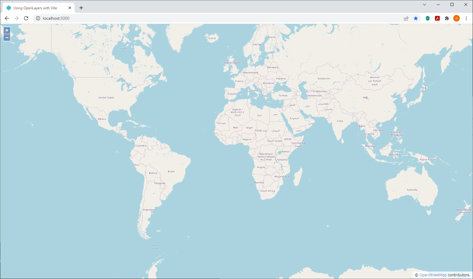
ブラウザで開くと以下のようなOpenStreetMap(OSM)を使用した世界地図がデフォルトで表示されます。
地理院地図を表示
{アプリケーションの名前}フォルダ以下にmain.jsというファイルが作成されているので、
こちらをエディタで開きます。
import './style.css';
import {Map, View} from 'ol';
import TileLayer from 'ol/layer/Tile';
import OSM from 'ol/source/OSM';

const map = new Map({
  target: 'map',
  layers: [
    new TileLayer({
      source: new OSM()
    })
  ],
  view: new View({
    center: [0, 0],
    zoom: 2
  })
});
地図データはデフォルトでOSMが使用されています。
こちらを地理院地図を使用するよう変更したソースが以下です。
import './style.css';
import {Map, View} from 'ol';
import TileLayer from 'ol/layer/Tile';
import XYZ from 'ol/source/XYZ';
import {fromLonLat} from 'ol/proj';

const map = new Map({
  target: 'map',
  layers: [
    new TileLayer({
      source: new XYZ({
        url: 'https://cyberjapandata.gsi.go.jp/xyz/pale/{z}/{x}/{y}.png'
      })
    })
  ],
  view: new View({
    center: new fromLonLat([139.7663672, 35.6806526]),
    zoom: 14
  })
});
ブラウザを確認すると地理院地図と東京駅が表示されているはずです。
出典
地理院地図は出典を明記する必要があるのでattributionも追加しました。
画面サイズが狭いと折りたたみ表示されます。
import './style.css';
import {Map, View} from 'ol';
import TileLayer from 'ol/layer/Tile';
import XYZ from 'ol/source/XYZ';
import {fromLonLat} from 'ol/proj';
import {Attribution, defaults as defaultControls} from 'ol/control';

const attribution = new Attribution({
  collapsible: false,
});

const map = new Map({
  target: 'map',
  layers: [
    new TileLayer({
      source: new XYZ({
        url: 'https://cyberjapandata.gsi.go.jp/xyz/pale/{z}/{x}/{y}.png',
        attributions: '<a href="https://maps.gsi.go.jp/development/ichiran.html" target="_blank">© 国土地理院</a>',
      })
    })
  ],
  controls: defaultControls({attribution: false}).extend([attribution]),
  view: new View({
    center: new fromLonLat([139.7663672, 35.6806526]),
    zoom: 14
  })
});

function checkSize() {
  const small = map.getSize()[0] < 600;
  attribution.setCollapsible(small);
  attribution.setCollapsed(small);
}

window.addEventListener('resize', checkSize);
checkSize();
