43
37

Delete article

Deleted articles cannot be recovered.

Draft of this article would be also deleted.

Are you sure you want to delete this article?

More than 5 years have passed since last update.

OpenStreetMapの地形データをUnityで使える3Dデータとして書き出す方法

Last updated at Posted at 2017-08-20

ハッカソン中に試行錯誤してたどり着いたやり方をまとめておきます。

概要

  1. 地図の任意の範囲の.osmファイルを出力する
  2. OSM2Worldを使って.objファイル形式に変換する

1. 地図の任意の範囲の.osmファイルを出力する

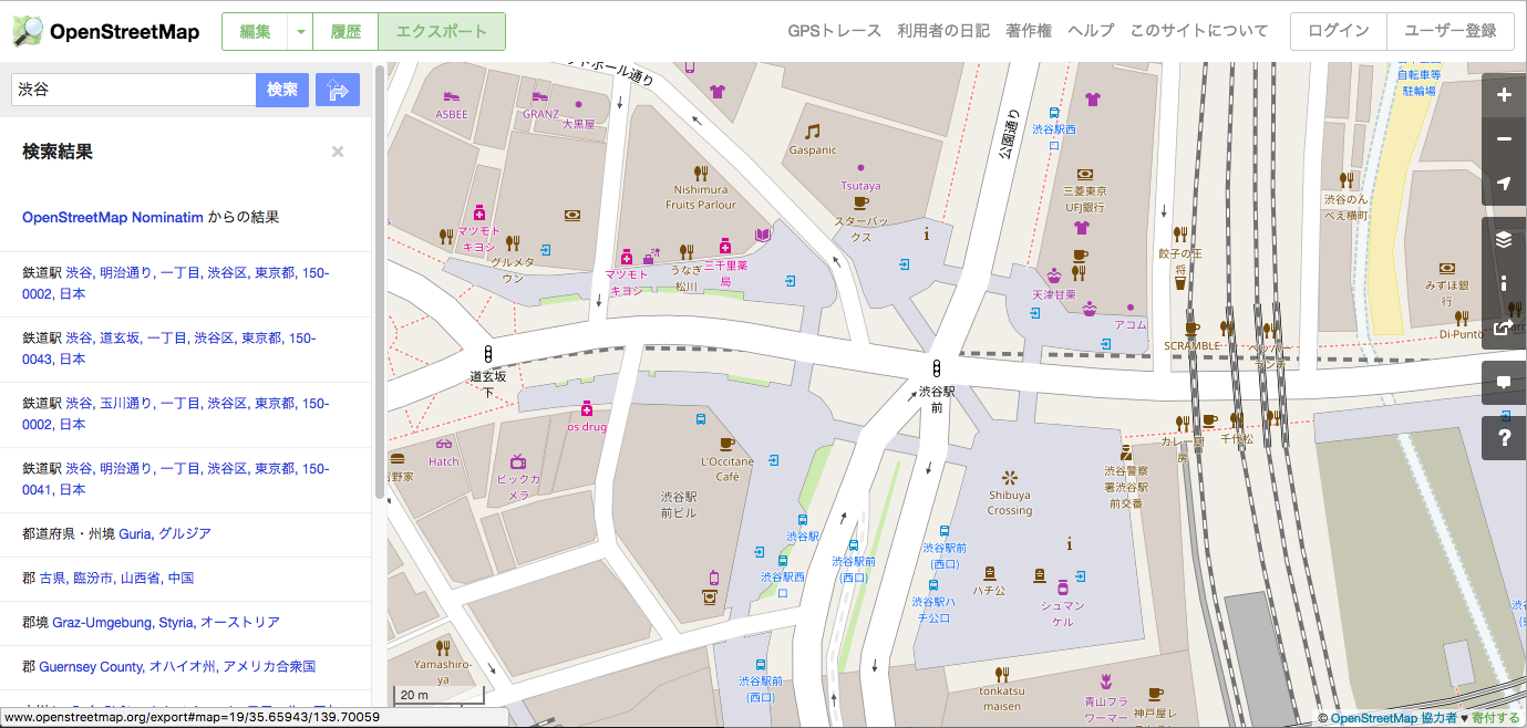
http://www.openstreetmap.org/ にアクセスし、任意の範囲を選択してから「エクスポート」します。

Screenshot 2017-08-21 06.43.30.png

2. OSM2Worldを使って.objファイル形式に変換する

OSM2Worldをインストール→起動し、osmファイルを取り込みます。
http://wiki.openstreetmap.org/wiki/JA:OSM2World の記述を参考にすると良いです。

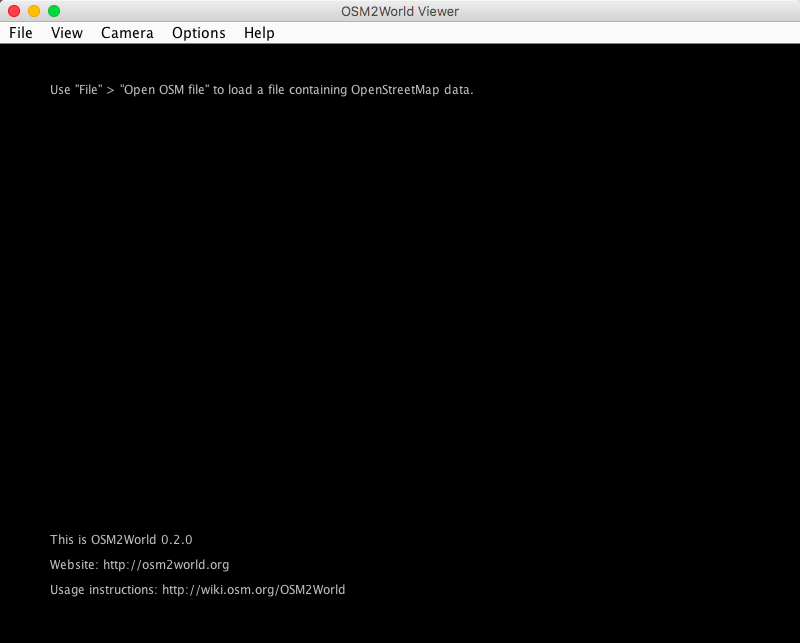
起動画面
Screenshot 2017-08-21 06.47.53.png

OSMファイルを開いたところ(この後、File > Export OBJ file を選択)
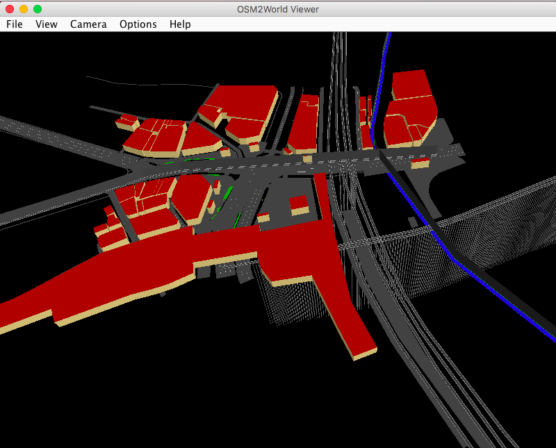
Screenshot 2017-08-21 06.58.57.png

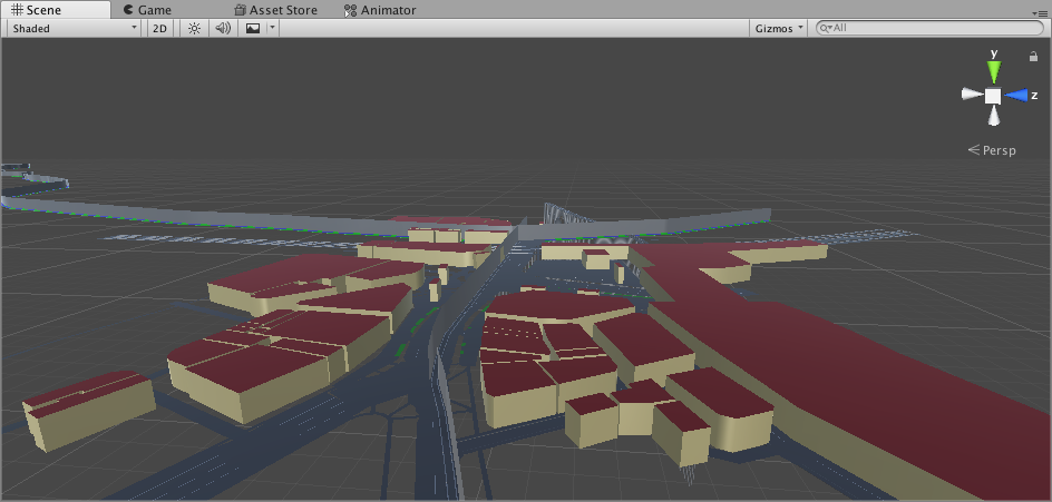
Unityに取り込むとこんな感じです。
Screenshot 2017-08-21 06.53.00.png

今後の課題

建物同士がオブジェクトとして分かれていない。
UV値が全てゼロに設定されているのでうまく画像を貼り付けられない。
解消する方法がありそうな気がするんですが、知ってる人がいたらぜひ教えて下さい。

参考にしたサイト

その他にこんなやり方があるようです。
ActionStreetMap
こちらは地図を動的に生成可能。
GoMap
MapBox
43
37
0

Register as a new user and use Qiita more conveniently

  1. You get articles that match your needs
  2. You can efficiently read back useful information
  3. You can use dark theme
What you can do with signing up
43
37

Delete article

Deleted articles cannot be recovered.

Draft of this article would be also deleted.

Are you sure you want to delete this article?