TL;DR
-
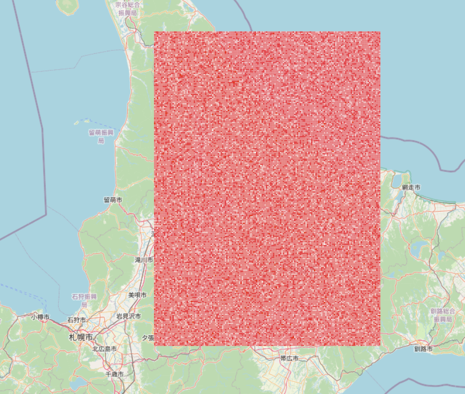
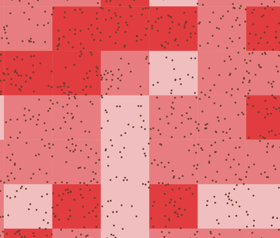
ST_SnapToGridにより、素朴にポリゴンで集計するより500倍くらいコストを小さく出来た(所要時間ではないことに留意)
-- 3次メッシュで集計する例
CREATE TABLE grid_agg AS (
  WITH points AS (
	  -- 最近傍のグリッドにスナップされるので、各点がメッシュの中心となるようなグリッドを定義する
    SELECT ST_SnapToGrid(
      geom,
      (1 * 0.0125) * 0.5, (0.666666666 * 0.0125) * 0.5, -- origin = origin_pos - size / 2
      1 * 0.0125, 0.666666666 * 0.0125 -- size
    ) as geom
    FROM poi
  )
  SELECT
	  -- メッシュの中心の座標からメッシュを図形を作成する
    ST_MakeEnvelope(
      ST_X(geom) - (1 * 0.0125) * 0.5,
      ST_Y(geom) - (0.666666666 * 0.0125) * 0.5,
      ST_X(geom) + (1 * 0.0125) * 0.5,
      ST_Y(geom) + (0.666666666 * 0.0125) * 0.5
    ) as geom,
    COUNT(geom) as count
  FROM points
  GROUP BY geom
);
メッシュ集計について
- 素朴には以下の手順が考えられる:
- メッシュのポリゴンを作成する
- ポイントデータと空間結合する
- たぶんこの方法は遅い(ポリゴンを作成するのがめんどう・空間結合がかなりコストかかるはず)
- ポイントデータの集計にそういう行儀の良い方法を取る必要はないだろうから、
ST_SnapToGridを利用してポイントデータをグルーピングする手法をとってみる-
ST_SnapToGridで、定義したグリッドに地物を「寄せる」 - 寄せた後の地物で
GROUP BYし、COUNTで数を集計する
-
検証
-
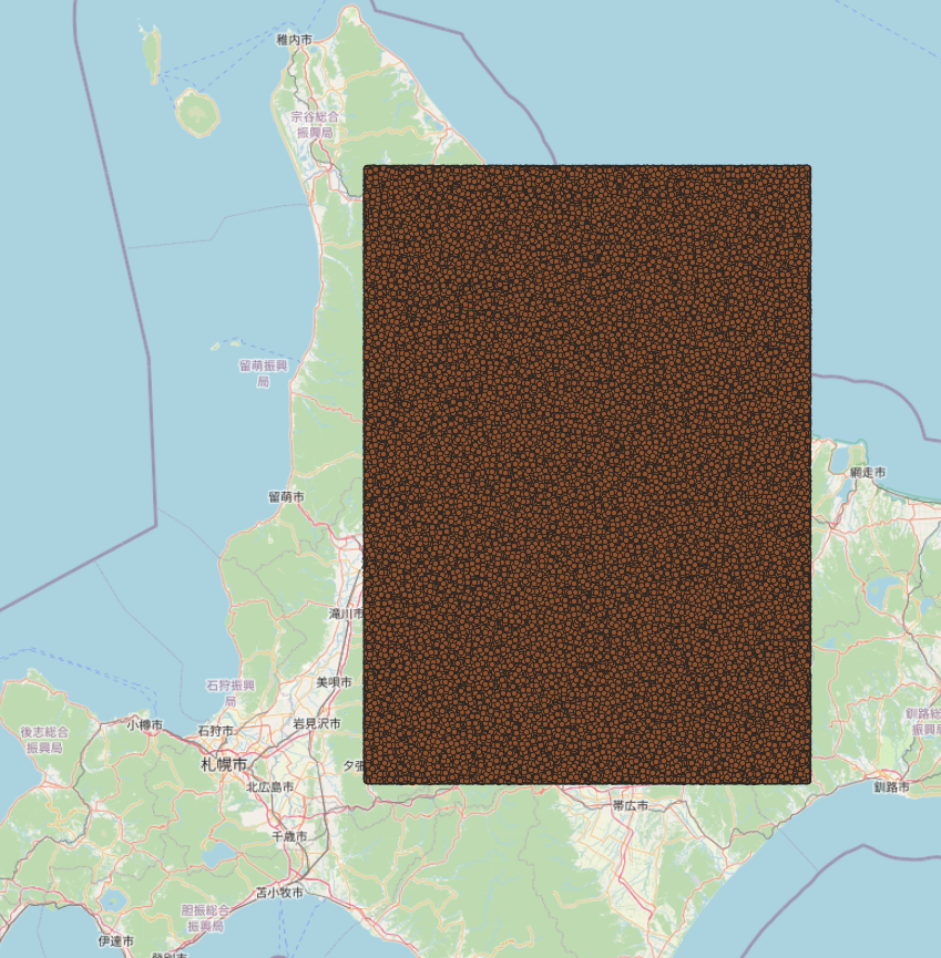
一定の範囲内にポイントを作成する(ここでは100万ポイント。なお1000万ポイントでもリーズナブルな速度で動作した。1億だとそもそもポイントを作るのが大変だった。)
-
冒頭のSQLを実行する(1秒未満で完了する、cost=1106505.39)
                                                                                        QUERY PLAN

--------------------------------------------------------------------------------------------------------------------------------------------------------------------------------
-----------
 Finalize GroupAggregate  (cost=114692.88..1106505.39 rows=1000000 width=72)
   Group Key: (st_snaptogrid(poi.geom, '0.00625'::double precision, '0.0041666666625'::double precision, '0.0125'::double precision, '0.008333333325'::double precision))
   ->  Gather Merge  (cost=114692.88..322338.72 rows=833334 width=72)
         Workers Planned: 2
         ->  Partial GroupAggregate  (cost=113692.85..225151.28 rows=416667 width=72)
               Group Key: (st_snaptogrid(poi.geom, '0.00625'::double precision, '0.0041666666625'::double precision, '0.0125'::double precision, '0.008333333325'::double precis
ion))
               ->  Sort  (cost=113692.85..114734.52 rows=416667 width=64)
                     Sort Key: (st_snaptogrid(poi.geom, '0.00625'::double precision, '0.0041666666625'::double precision, '0.0125'::double precision, '0.008333333325'::double p
recision))
                     ->  Parallel Seq Scan on poi  (cost=0.00..63610.04 rows=416667 width=64)
 JIT:
   Functions: 10
   Options: Inlining true, Optimization true, Expressions true, Deforming true
(12 rows)
参考:ちゃんとポリゴンで集計する場合のコストを調べておく
-
3次メッシュのグリッドのテーブルを作成しておく(QGISの地域メッシュプラグインからPostGISに直接書き込めて便利だった)
-
グリッドのテーブルに空間インデックスを作成しておく(以下では
thirというテーブル、thirdをタイポした) -
SQLを実行する(cost=639598488.91、前述の手法の578倍)
CREATE TABLE grid_agg_poly AS (
  SELECT thir.geom AS geom, COUNT(poi.geom) AS count
  FROM thir
  LEFT JOIN poi
  ON ST_Contains(thir.geom, poi.geom)
  GROUP BY thir.geom
);

                                                  QUERY PLAN
--------------------------------------------------------------------------------------------------------------
 Finalize GroupAggregate  (cost=639313115.89..639598488.91 rows=1126400 width=128)
   Group Key: thir.geom
   ->  Gather Merge  (cost=639313115.89..639575960.91 rows=2252800 width=128)
         Workers Planned: 2
         ->  Sort  (cost=639312115.87..639314931.87 rows=1126400 width=128)
               Sort Key: thir.geom
               ->  Partial HashAggregate  (cost=624894942.36..639146644.15 rows=1126400 width=128)
                     Group Key: thir.geom
                     Planned Partitions: 16
                     ->  Nested Loop Left Join  (cost=0.29..588128721.15 rows=331413825 width=152)
                           ->  Parallel Seq Scan on thir  (cost=0.00..27681.33 rows=469333 width=120)
                           ->  Index Scan using poi2_geom_idx on poi2  (cost=0.29..1252.06 rows=100 width=32)
                                 Index Cond: (geom @ thir.geom)
                                 Filter: st_contains(thir.geom, geom)
 JIT:
   Functions: 12
   Options: Inlining true, Optimization true, Expressions true, Deforming true
(17 rows)
参考リンク
宣伝
「位置エン本」に続く第2作、現場のプロがわかりやすく教える位置情報デベロッパー養成講座: デジタルマップ配信のためのサーバーサイド実装が2024年8月末に発売されます。PostGISの説明に注力しているほか、ラスター配信のテーマとして衛星データを取り扱っています。興味のある方はぜひ書店でご覧になってください。


