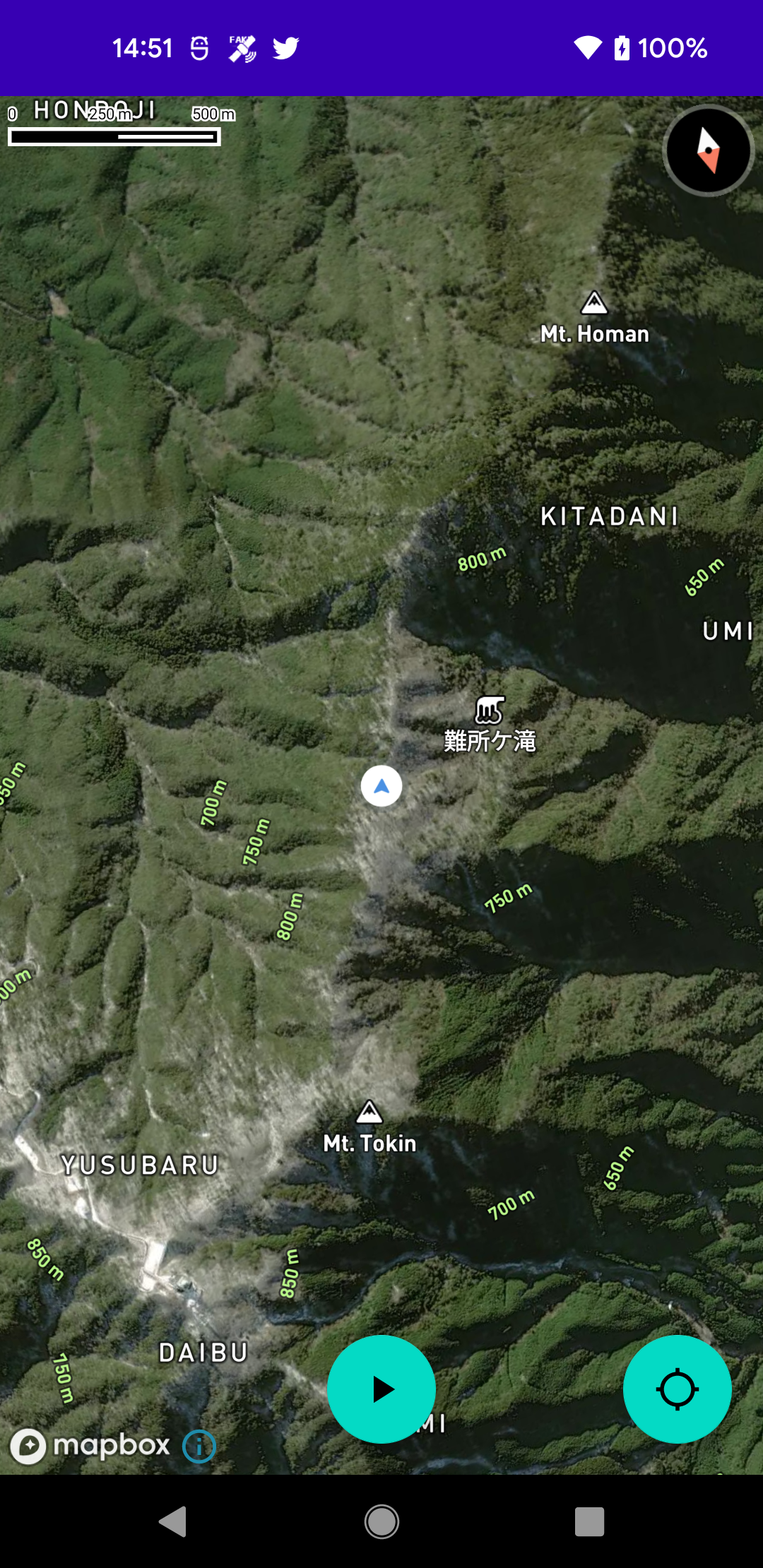
現在地アイコンを変更する方法
    private fun initLocationComponent() {
        val locationComponentPlugin = binding.mapView.location
        locationComponentPlugin.updateSettings {
            this.enabled = true
            this.locationPuck = LocationPuck2D(
                bearingImage = AppCompatResources.getDrawable(this@MainActivity,
                    R.drawable.ic_baseline_navigation_24
                ),
                shadowImage = AppCompatResources.getDrawable(this@MainActivity,
                    R.drawable.mapbox_user_icon_shadow
                ),
                scaleExpression = interpolate {
                    linear()
                    zoom()
                    stop {
                        literal(0.0)
                        literal(0.6)
                    }
                    stop {
                        literal(20.0)
                        literal(1.0)
                    }
                }.toJson()
            )
        }
    }
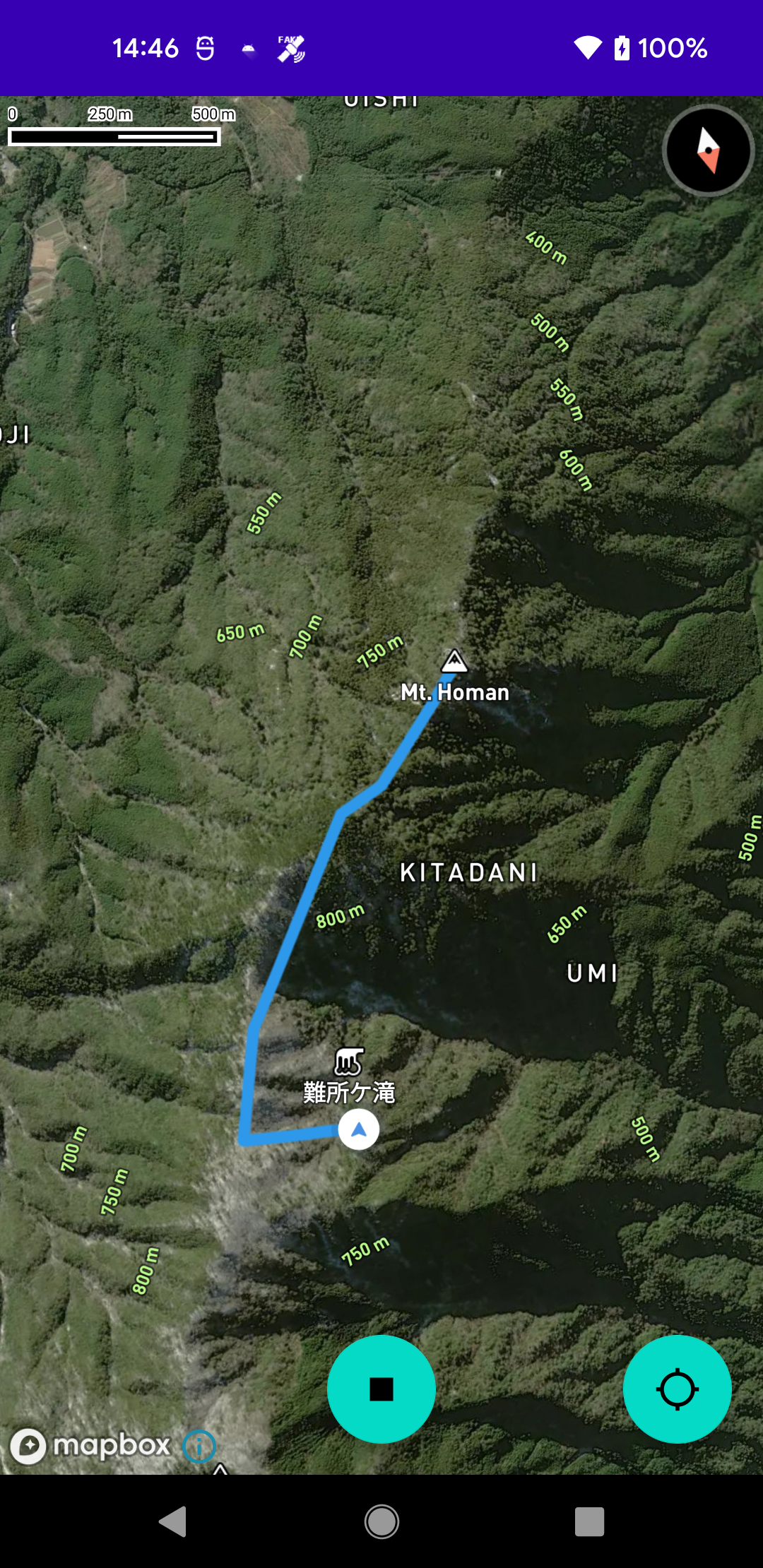
軌跡を動的に描画する方法
まず、 loadStyle() 時に軌跡描画用の lineLayer および geoJsonSource を追加しておく
        binding.mapView.getMapboxMap().loadStyle(
            styleExtension = style("...") {

                ...

                +geoJsonSource(id = SOURCE_ID_MY_ROUTE)

                +lineLayer(layerId = LAYER_ID_MY_ROUTE, sourceId = SOURCE_ID_MY_ROUTE) {
                    lineCap(LineCap.ROUND)
                    lineJoin(LineJoin.ROUND)
                    lineWidth(6.0)
                    lineColor("#2E98EA")
                }
            }
        )
その後、軌跡データを取得したら、先ほど追加した geoJsonSource を取り出し、軌跡データを詰め込んだ Feature を作成しセットする
fun drawRoute() {
    val style = binding.mapView.getMapboxMap().getStyle() ?: return
    val source = style.getSourceAs(SOURCE_ID_MY_ROUTE) as GeoJsonSource? ?: return
    source.feature(Feature.fromGeometry(LineString.fromLngLats(points)))
}
参考