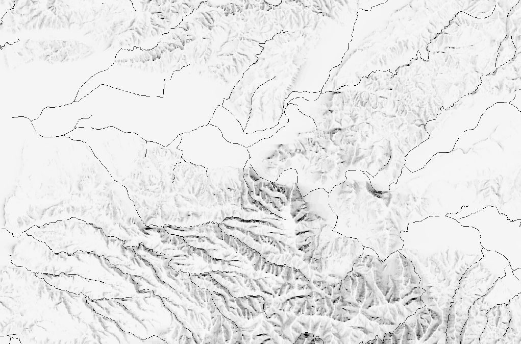
考古学でよく使いそうな距離ラスタ作成のコマンド。河川からの距離地図などを想定しています。
ラインベクタのラスタ変換
gdal_rasterize コマンドを使います。
## ベクタファイルを入力して2値のラスタファイルを出力する
#  -burn オプションで地物のある領域に「1.0」を代入
#  -tr オプションで解像度を指定(10mメッシュ)
#  -a_nodata オプションで地物のない領域に「0.0」を代入
#  -te オプションで対象領域の範囲を指定(xmini xmax ymini ymaxの順に指定)
#  入力ファイル(WL.shp) 出力ファイル(WL.tif)の順に指定
gdal_rasterize  -burn 1.0 -tr 10.0 10.0 -a_nodata 0.0
 -te 417000.0 4621000.0 459000.0 4659000.0 WL.shp WL.tif
距離ラスタの作成
gdal_proximity.py コマンドを使います。
## ラスタファイルを入力してラスタ距離地図を作成する
# distunits オプションで「GEO」を指定(地図上の距離)
# 入力ファイル(WL.tif) 出力ファイル(WL_buffer.tif)の順に指定
gdal_proximity.py -distunits GEO WL.tif WL_buffer.tif
コマンドまとめ
## ベクタのラスタ化
gdal_rasterize  -burn 1.0 -tr 10.0 10.0 -a_nodata 0.0 -te 417000.0 4621000.0 459000.0 4659000.0 WL.shp WL.tif
### 距離ラスタ作成
gdal_proximity.py -distunits GEO WL.tif WL_buffer.tif

