いまだベクトルタイルに対応していない GIS を使って地理空間情報を分析することもあるでしょう。
Photo by Pasztilla aka Attila Terbócs
タイルをつなぎ合わせてモノリシックなデータに戻すことをモザイクと呼びましょう。
モザイクを作る方法を開発しました。レポジトリ名は mozdev にしました。
実際の中身はワンライナーです。このワンライナーを動かすためには、例えば equinox を使って国連ベクトルタイルツールキットを導入してください。
$ rake
上記コマンドで、タイルセットをダウンロードして Shapefile に変換します。
mozdev/Rakefile
M = "https://cyberjapandata.gsi.go.jp/xyz/experimental_landformclassification1/mokuroku.csv.gz"

task :default do
  sh "curl --silent #{M} | gzcat | ruby tyler.rb | tippecanoe-json-tool > mozdev.geojsons; ogr2ogr -skipfailures -overwrite mozdev.shp mozdev.geojsons"
end
mozdev/tyler.rb
U = "https://maps.gsi.go.jp/xyz/experimental_landformclassification1"
SILENT = false

while gets
  fn = $_.split(',')[0]
  zxy = fn.split('.')[0].split('/').map{|v| v.to_i}
  next unless zxy[0] == 14
  system "curl #{SILENT ? '--silent' : ''} #{U}/#{$_.split(',')[0]}"
end
モザイクのイメージ
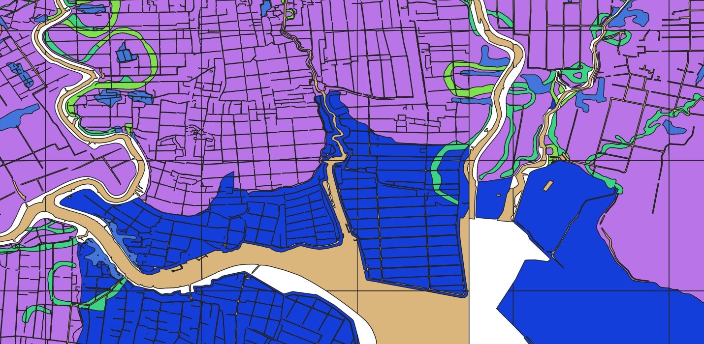
「地形分類(自然地形)」(国土地理院)
参考
実際に ogr2ogr でモザイク Shapefile を組み立てた時のエラーの出方は次のような感じでした。

相手がベクトルタイルの場合
相手が GeoJSON ベクトルタイルではなく、ベクトルタイルである場合には、tippecanoe-decode を使うことになるでしょう。
tippecanoe-json-tool も、tippecanode-decode も、tippecanoe に同梱されています。