4
2

Delete article

Deleted articles cannot be recovered.

Draft of this article would be also deleted.

Are you sure you want to delete this article?

More than 1 year has passed since last update.

【QGIS】JAXA Earth APIプラグインを使って衛星データを表示する

Posted at

はじめに

この記事は#30DayMapChallenge2022 9日目の記事です。
テーマはSpaceです。
QGISを使ってJAXAの衛星データを地図上に表示してみます。

image

QGISとは

フリーでオープンソースの地理情報システム
ほとんどのUnixプラットフォーム、Windows、macOS上で動作する

事前準備

既にインストール済みのQGIS(バージョン3.22.3)を使います。
QGISを開きます。
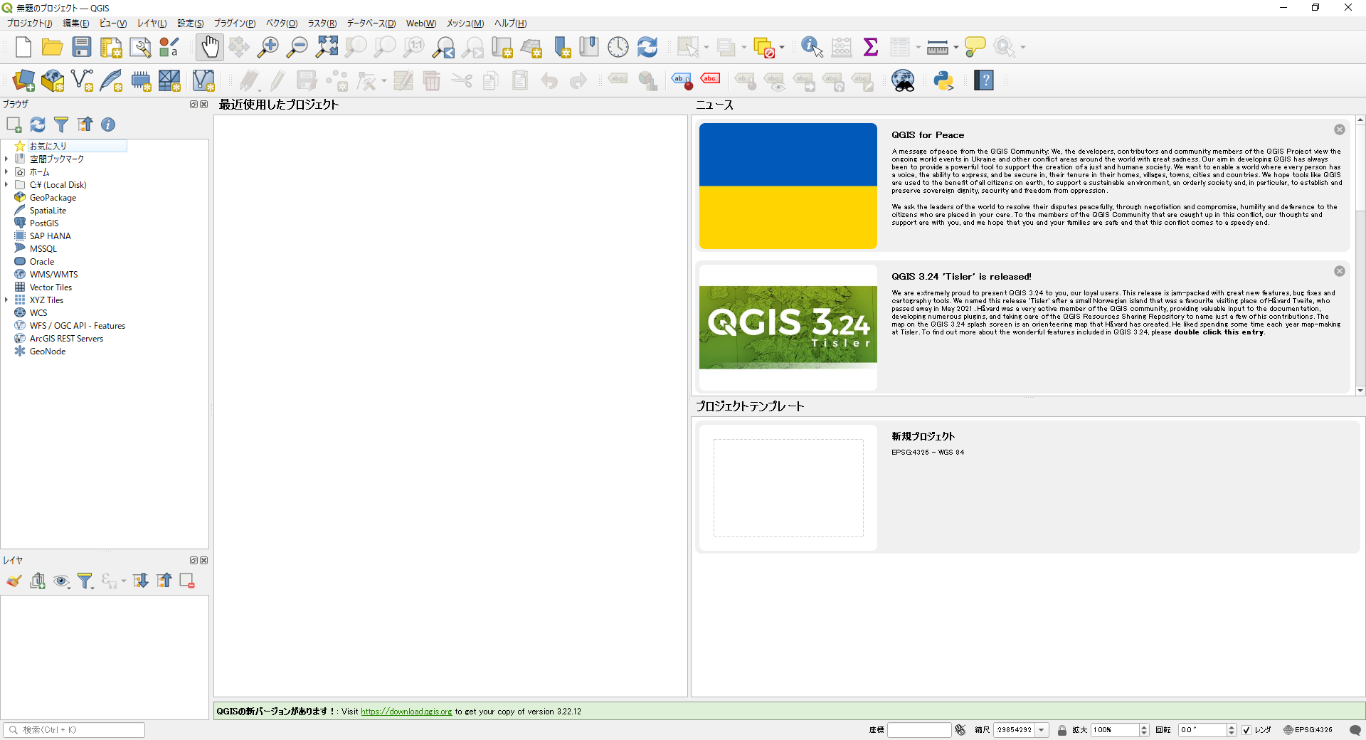
image.png

JAXA Earth API Pluginインストール

JAXAの衛星データをQGISで表示することができる「JAXA Earth API Plugin」を利用します。
上のメニューバーの「プラグイン」から、「プラグインの管理とインストール」をクリックします。

image.png

JAXA Earth API Pluginを検索し、「インストール」をクリックします。

image.png

インストールが完了すると、画面上にJAXA Earth API Pluginが表示されるようになります。

image.png

データ表示

Select Datasetから利用したいデータを選び、Loadをクリックします。

image.png

image.png

表示されました!
数回クリックするだけで衛星データを地図上に表示できるのはすごいですね(^o^)丿

MIERUNEさんの公式Youtubeでは使い方を詳しく紹介しています。

参考文献
4
2
0

Register as a new user and use Qiita more conveniently

  1. You get articles that match your needs
  2. You can efficiently read back useful information
  3. You can use dark theme
What you can do with signing up
4
2

Delete article

Deleted articles cannot be recovered.

Draft of this article would be also deleted.

Are you sure you want to delete this article?