R で地図を書く方法はいくつかありますが,単にプロットしたいだけなら,Google Maps にプロットするのが楽そうです.
インストール
ggmap パッケージ (http://cran.r-project.org/web/packages/ggmap/index.html) をインストール
install.packages('ggmap')
library(ggmap)
マップ描画
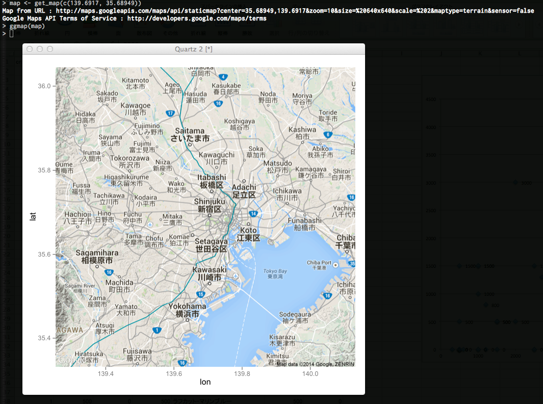
中心座標を指定してマップオブジェクトを生成,描画します
map <- get_map(c(139.6917, 35.68949))
ggmap(map)
データをプロット
あらかじめ用意しておいた ↓ のような位置座標データをプロットしてみます
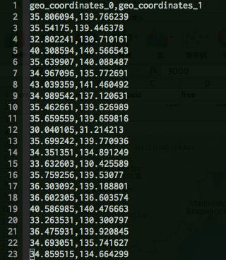
locations <- read.csv('locations.csv')
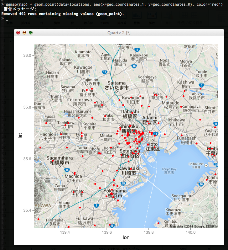
ggmap(map) + geom_point(data=locations, aes(x=経度, y=緯度), color='red')
日本全体をプロット
center <- geocode('kanazawa')
map <- get_map(c(center$lon, center$lat), zoom = 5, maptype = 'roadmap')
ggmap(map) + geom_point(data=locations, aes(x = geo_coordinates_1, y = geo_coordinates_0), color = 'red', size = 0.7)
geocode() 便利.
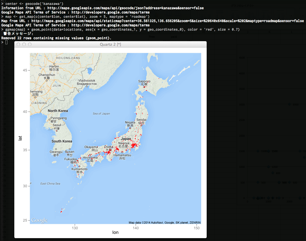
中心座標を金沢にしたら収まりが良かったので,日本の中心は金沢.